Courtesy Library of Congress.
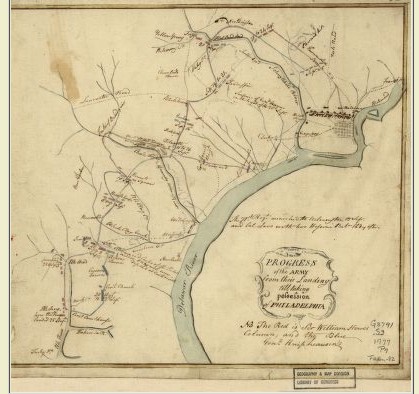
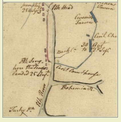
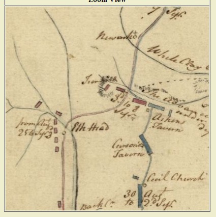
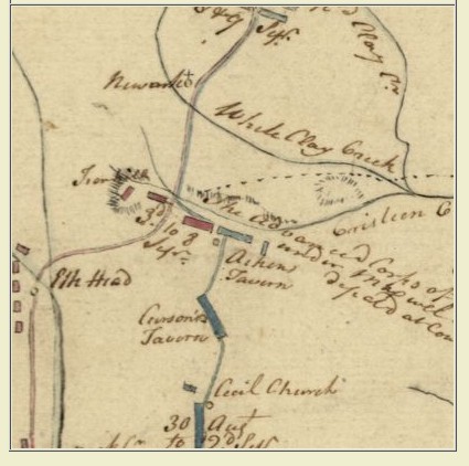
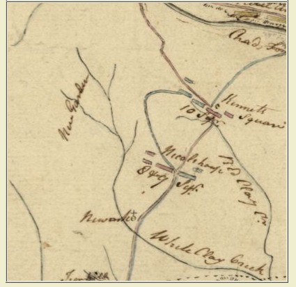
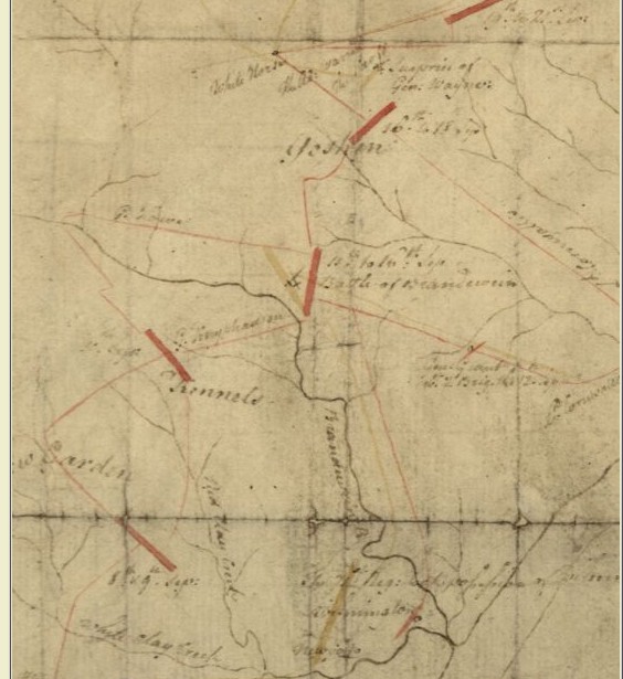
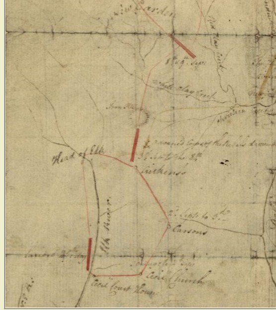
The cartographic collections of the Library of Congress include two maps entitled the "Progress of the Army..." denoting British advances from the Head of Elk to Philadelphia, PA in 1777. While authorship has not been absolutely confirmed, both maps are attributed to Major John Andre.
- Progress of the army from their landing till taking possession of Philadelphia. [1777?] col. map 25 x 27 cm.
- This is not given as an accurate map, but only to afford an idea of the progress of the army from the landing at Elk to the taking of possession of Philadelphia. The brown lines are the supposed marches of the rebels. [1777] col. map on sheet 23 x 19 cm. Click Here
High resolution digital images of both maps can be accessed and downloaded directly from the Library's Map Collections web site ( Finally, these maps are not protected by copyright and may be used in any manner you wish.